Green Spaces: Explore the Peachtree Creek Greenway’s paved walking trail
Brookhaven’s “model mile” for the Peachtree Creek Greenway is open for use! The official ribbon-cutting took place in December of 2019, so if you haven’t been there yet, it’s time to get out and explore.
The newly opened section of the Greenway is roughly 1.27 miles, so it’s a good walk from one end to the other and back. You can do it in under an hour at a strolling pace. (Runners and cyclists will have a different experience, of course.)
We went out on a crisp, sunny December Sunday to walk Atlanta’s newest paved trail. Here’s what we found.
Comparisons to the Atlanta BeltLine are inevitable. While the PCG lacks the BeltLine’s gritty urban charm and eclectic art installations, it has one thing the BeltLine doesn’t have — a natural waterway.
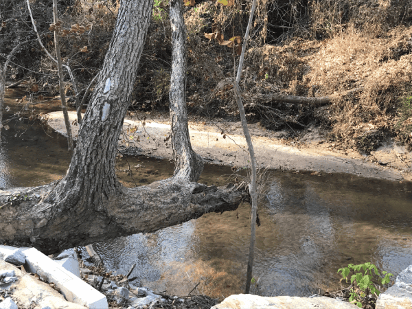
The trail closely follows the north fork of Peachtree Creek, adding the soothing sounds of water to the distant hum of traffic on Buford Highway as you stroll or bike along.
This is a new series. Our idea is to find and share info about small pockets of nature close to home, so we can all enjoy them more often.
As we explore parks and trails throughout metro Atlanta, we’ll share our experiences with you. We encourage you to follow in our footsteps and check out a place you’ve never been.
With so many cancellations, we’ve had to shift our focus away from free and cheap events — so our goal for 2020 is to help you connect to your city in new ways. Get out and explore!
Video highlights from our walk
Getting there and parking
If you’re eager to get out there and explore, you won’t find a lot of useful information on the Peachtree Creek Greenway website, which is mainly about the history of the creek, the future of the Greenway, and the value of walking trails (we’re already convinced!)
The best info we found was in this Curbed Atlanta article from last October. It’s the only place we found a list of trail access points. It also features a great photo essay on the construction process, including building the flyover bridge with giant cranes. Highly recommended!
Here’s what you need to know:
There are three official trail heads in Brookhaven (each has a small parking area), as well as a couple of unofficial access points where the trail runs alongside the back office buildings. It will be interesting to see how quickly the parking areas hit maximum capacity, and if neighboring businesses will allow overflow parking.
1. The North Druid Hills Trailhead
LOCATION: 2090 North Druid Hills Rd.
Mile Marker: 3.0
This is the main access point, with the largest parking area. The Salvation Army generously donated a portion of its land for this trailhead.
From N. Druid Hills Road, you’ll turn into the Salvation Army’s driveway, then veer left to reach the PCG parking area. Everything at this access point is designed to comply with the Americans With Disability Act — there’s both a ramp and stairs down to the trail from street level.
The pedestrian stairway includes a channel to help you walk a bike up or down the stairs. There’s an air pump and bicycle repair tools at the bottom of the steps.
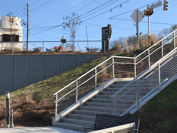
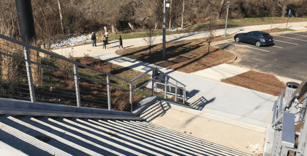
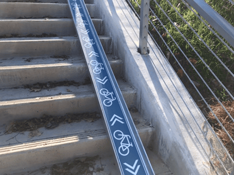
2. The Corporate Square Trailhead
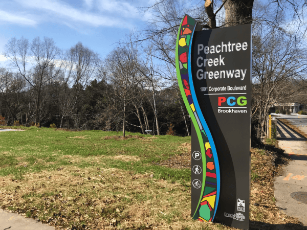
LOCATION: 1801 Corporate Boulevard
Mile Marker: 3.17
This mid-trail access point features a very small parking lot (only 7 dedicated spaces, including one handicapped spot).
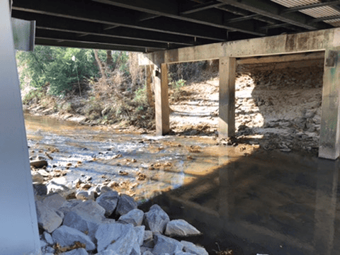
The photo below shows how the Greenway passes underneath Corporate Boulevard (the bridge on the left). On the right, you can see the paved ramp that leads down to the trail from street level.
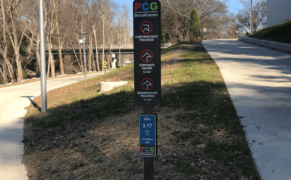
3. The Briarwood Road Trailhead
LOCATION: 1793 Briarwood Rd.
Mile Marker: 4.23
This access point is just off Buford Highway, on Briarwood Road near the REI parking lot.
It is the closest access point to the Brookhaven MARTA Station — just a 12-minute, 2.1-mile bicycle ride, according to Google Maps. (The main trailhead is 15-minutes and 2.4 miles, for comparison.)
This trailhead features a parking lot, an tire air pump, and some handy tools at a bike repair station.
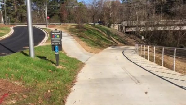
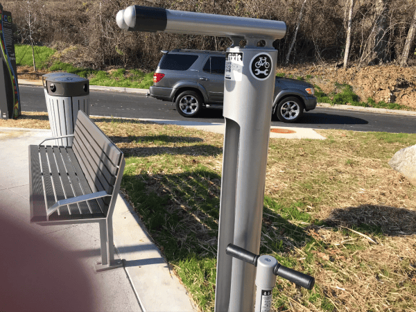
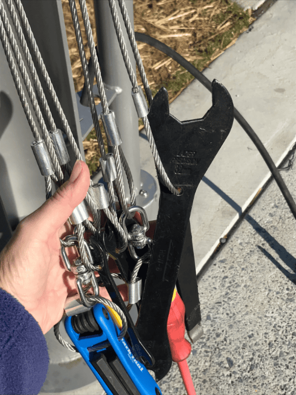
Photo Gallery
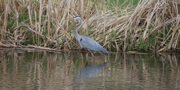
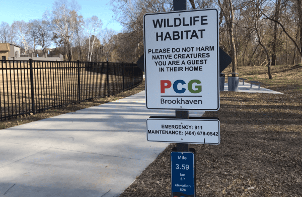
Signs remind you that Peachtree Creek is a natural wildlife habitat. You may see turtles, herons, or woodland critters on your walk.
The Greenway is adjacent to several apartment communities along Buford Highway.
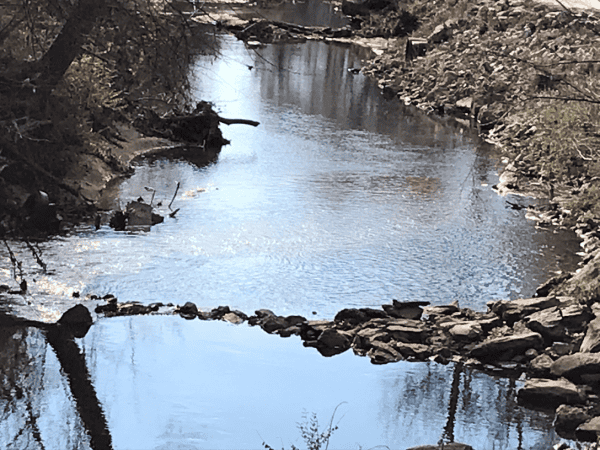
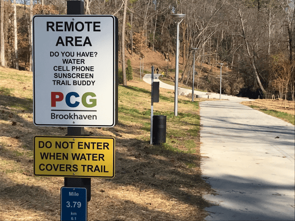
Of course, Peachtree Creek is notorious for flash-flooding during heavy rain — but when the water is low, it’s hard to imagine that the low, creekside section of trail could be submerged and unpassable at some point. (The sign pictured below seems slightly alarmist, as you’re never far from Buford Hwy while on the Greenway.)
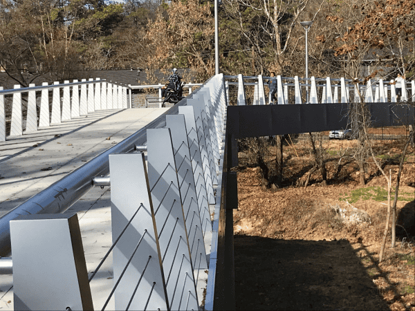
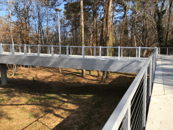
The trail also includes a long bridge over the creek and low-lying areas. It’s like a mini version of the flyover lanes on I-285.
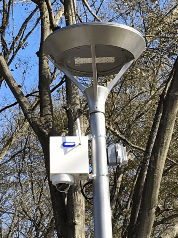
Lighting and security cameras are already installed on the Greenway.
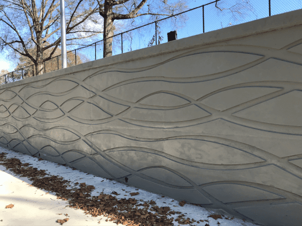
The wave design on this retaining wall stands in for public art along the trail.
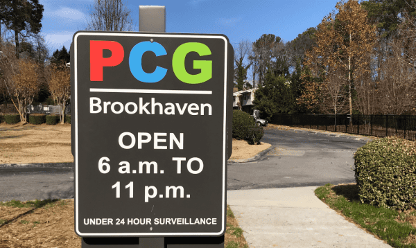
Unlike the BeltLine, the PCG has posted operating hours — it closes at 11 p.m. (And if you’ve never walked back to your car on the BeltLine after midnight, you should consider putting that on your Atlanta Bucket List.)
About the Peachtree Creek Greenway
The Peachtree Creek Greenway will eventually be a linear park of approximately 12 miles. It will run along the north fork of Peachtree Creek, connecting Brookhaven, Chamblee, and Doraville.
The idea is for the Greenway to eventually connect to Buckhead’s PATH400 Trail, and then on to the Atlanta BeltLine.
This “model mile” that just opened is the middle third of Brookhaven’s 3-mile section.
You may also be interested in:
- Subscribe to our daily newsletter and stay in the know!
- Metro Atlanta area Farmers Markets, listed by day of the week
- Free and cheap things to do this week
- Local daily deals from Groupon
- Atlanta on the Cheap events calendar
Peachtree Creek Greenway – N. Druid Hills trailhead
2090 North Druid Hills Rd.
Atlanta , GA


